


Recent events have highlighted a need for police to have a coordinated response during events, such as an active shooter. "SkySpotter" aims to use increase situational awareness by helping use drones to track positions of those responding to the event in order to improve coordination of the responders.
During training for or in emergency response situations, it's useful to know team members' positions in real-time, but can be difficult to do so. Losing someone’s position could have undesired impacts, such as a failure to contain/apprehend or friendly fire situations.
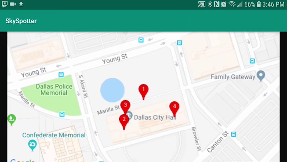
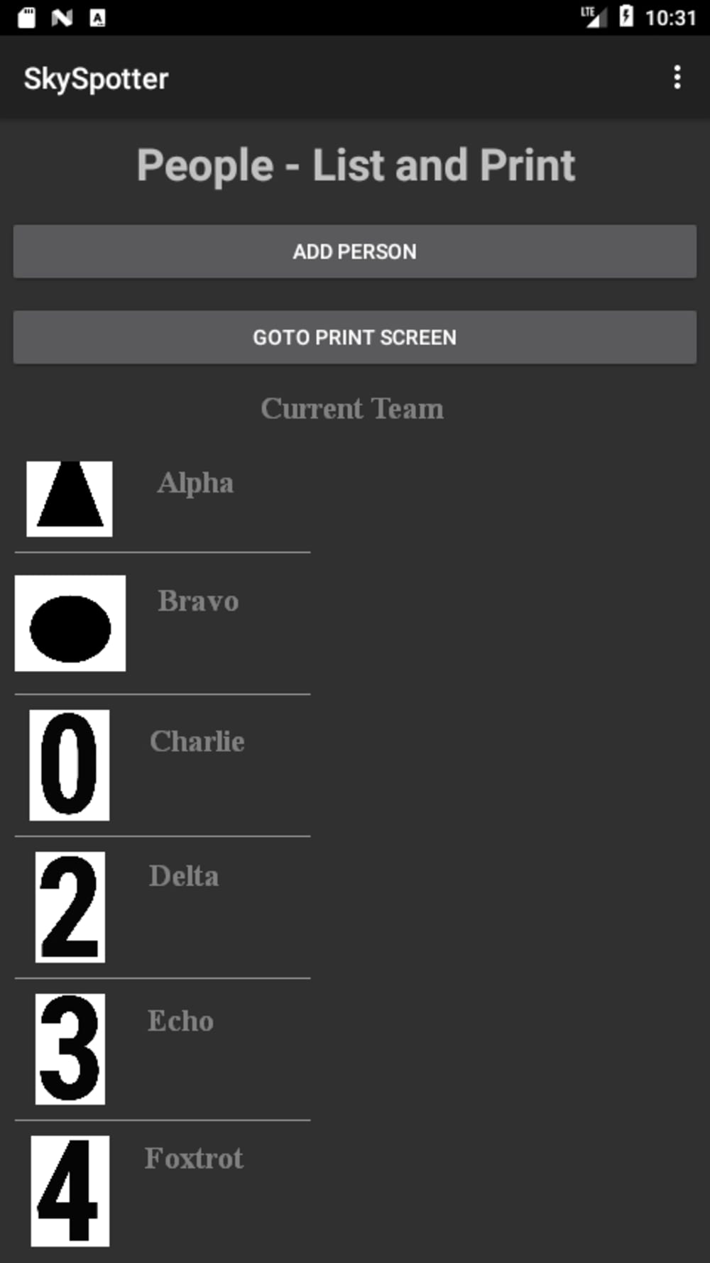
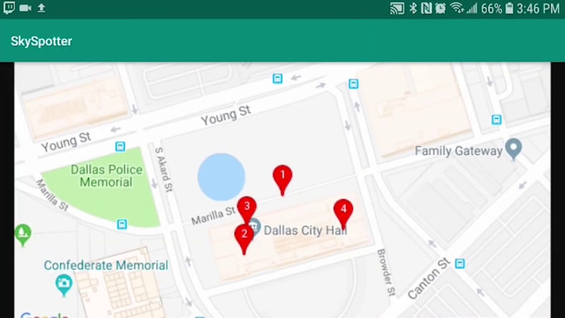
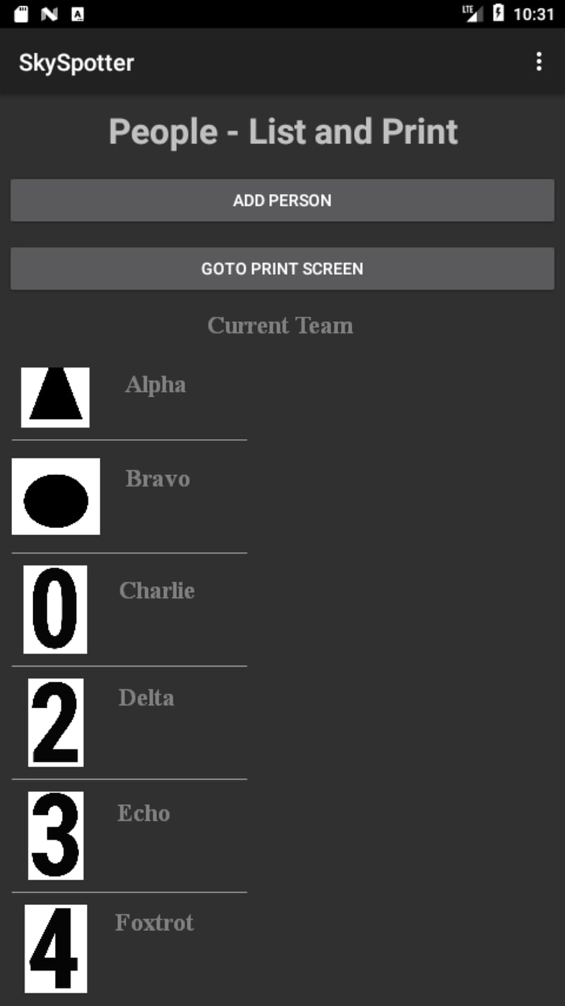
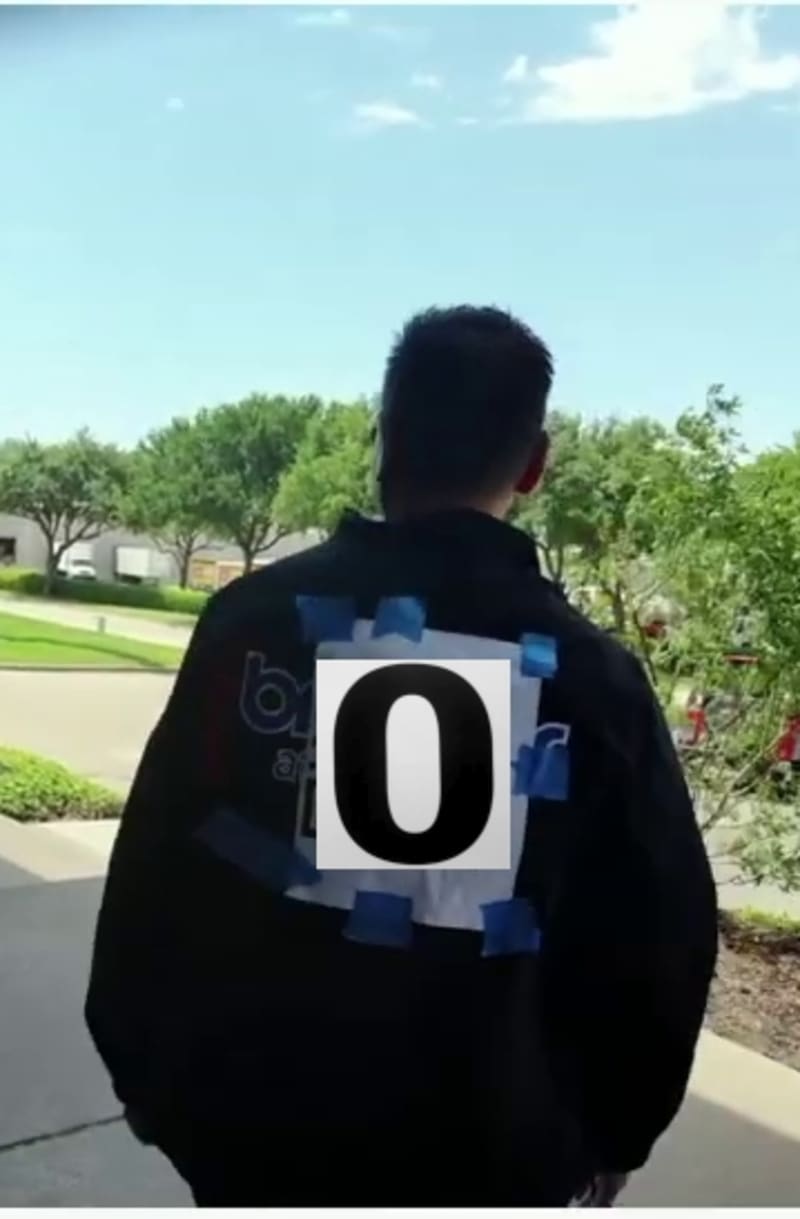
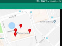
The patented SkySpotter technology aims to employ unmanned aerial systems’ video feed in order to assist coordinators assess the positions of the deployed team members. The coordinator enters an identifier for each team member into the SkySpotter app and prints off a unique optical marker for each team member to wear on their helmet and/or vest. After the team fans out and the coordinator or drone pilot launches the drone, the camera feed is continuously fed to the application in real-time. As the application detects markers from the drone in the video feed, using the drone’s GPS position, altitude, camera gimbal orientation, size/shape/position of the optical marker, and other information is used to project an approximate position for the team member wearing that optical marker, an approximate position for that team member wearing that optical marker is projected. Detected team members’ most recent position is displayed on a map, providing the with periodic updates on team members’ position as they and the drone move around, improving coordination.
Video
Like this entry?
-
About the Entrant
- Name:John Lindsay
- Type of entry:individual
- Software used for this entry:Android, Tensor Flow
- Patent status:patented