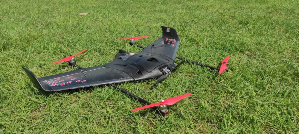
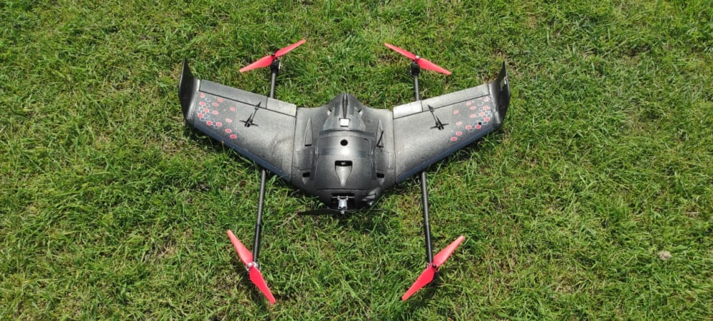
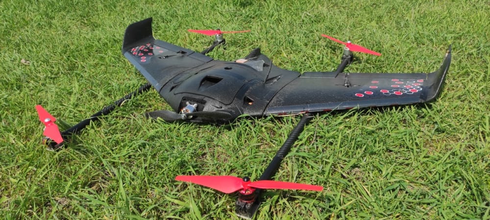
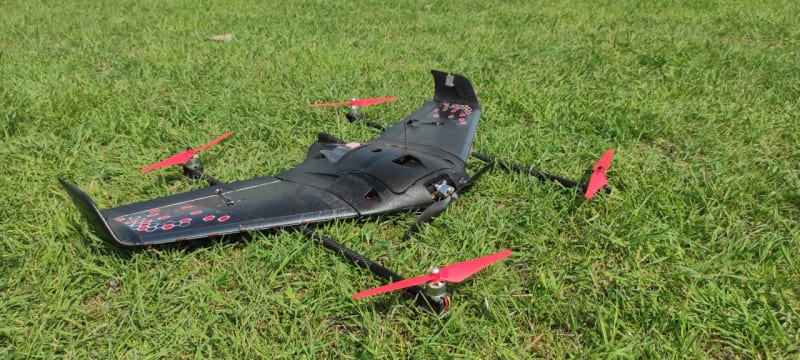
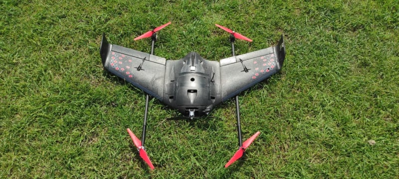

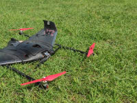
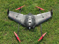
A feature of the drone is that it includes the properties of aircraft and helicopter types of UAVs. It is equipped with two beams on which 4 lift motors are mounted, designed for vertical takeoff and landing from almost any surface. A pulling engine is installed in the bow, designed to fly in airplane mode. The flight takes place in fully automatic mode, at the end of the task, the aircraft returns home. It is a universal platform for installing various types of cameras for aerial photography of the area. To compile a flight task, it is enough to indicate the area on the map, the program will calculate the flight path itself, you just have to load the mission into the autopilot and start the plane. Each photo will be assigned the coordinates of the point where it was taken.
Every season, farmers lose profits due to missing or inaccurate crop data. With the help of multispectral imaging, it will be possible to find out in which parts of the field watering or top dressing is required, whether the plant is sick. It will reduce these losses.
With the help of magnetometric surveys, it is possible to detect secondary magnetic rocks that form rocks while under the influence of the Earth's magnetic field, thereby determining the location of mineral deposits.
Thermal imaging will allow you to search for lost people, monitoring of potentially dangerous objects, monitoring the development of emergencies. During fires, the object is very often located behind a dense veil of smoke, with the help of thermal imaging it is possible to "look" behind it and understand where and what exactly is burning, assess the scale of the fire, and correctly coordinate the fire service.
One of the main problems in the field of cadastre is the incompleteness of information in the unified state register of real estate or their inadequate quality. With the help of topographic survey, it will be possible to compile two-dimensional and three-dimensional maps, which will optimize the process of performing cadastral work, reduce costs and time forfield work and develop a uniform approach to the description of the boundaries of land. In the future, this will make it possible to avoid crossing the boundaries of adjacent land plots, unauthorized occupation of land, duplication of information about land plots, identifying unaccounted land plots and cadastral errors.
Video
Like this entry?
-
About the Entrant
- Name:Botir Boysunov
- Type of entry:teamTeam members:1. Botir Bosunov Pulat ugli - Team Captain, Chief Engineer
2. Kamila Saidova Shavkatovna - Project Manager
3. Victoria Lee Sergeevna - Marketer
4. Alisher Yuldashev Nurullovich - Electronics Engineer
5. Islambek Ismatov Ibadullayevich - Aerodynamics Engineer - Software used for this entry:Autopilot
- Patent status:none